
Reimagining protection and production in a living landscape
Rethinking the Legacy of National Parks
New Zealand’s national parks were shaped by 19th-century ideals of nature as pristine and separate—places where human presence was excluded. In contrast, the Mackenzie Basin is a landscape long marked by both human use and ecological significance. This project asks: What if our conservation models reflected that reality more fully?
The Mackenzie Agreement as Catalyst
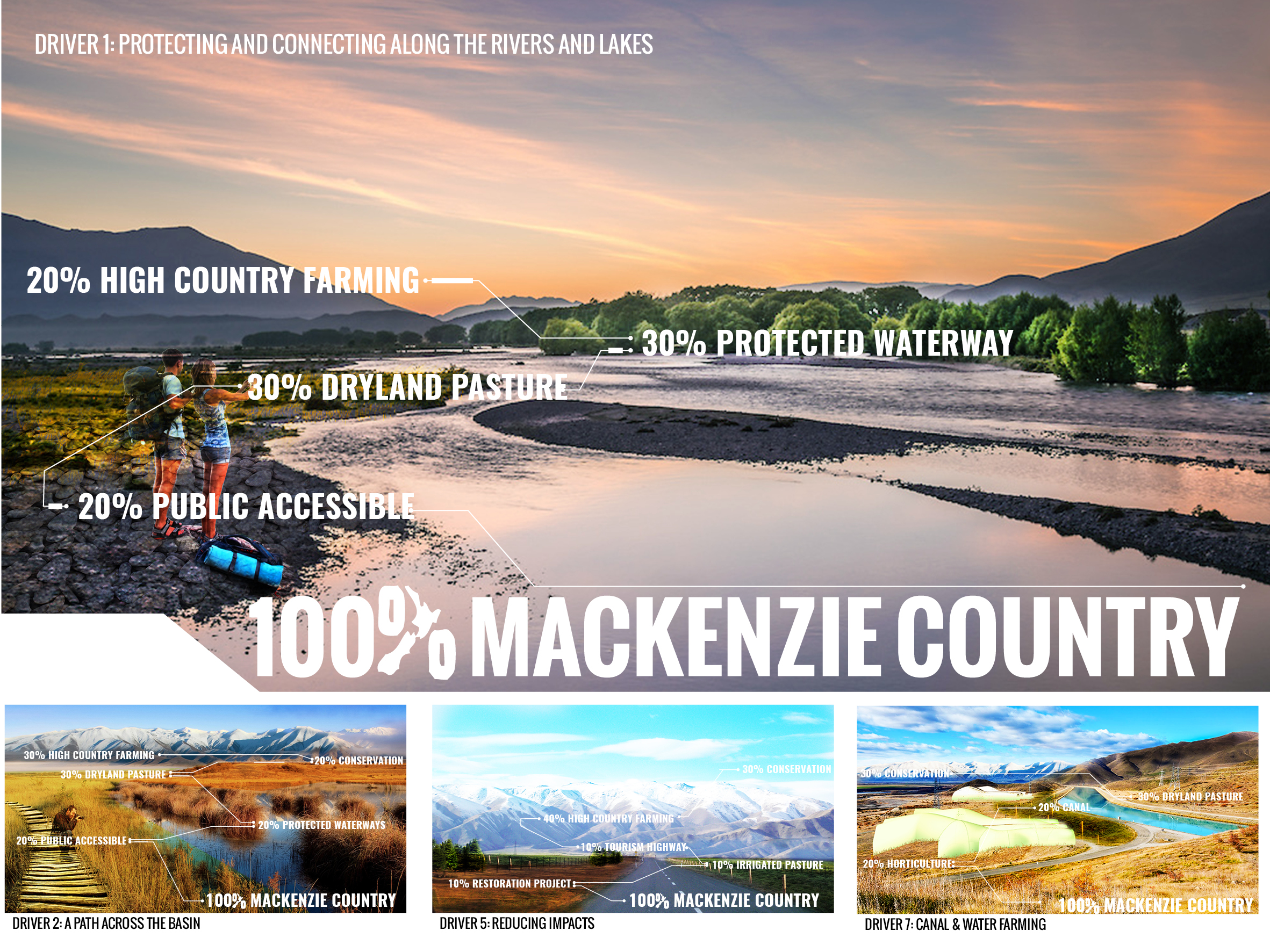
The Mackenzie Agreement—an unprecedented collaboration between farmers, iwi, scientists, conservationists, tourism operators and local government—provided the foundation for this design research. It identified three themes for the region’s future: conservation, protection, and tourism.
Design Research and Drivers of Change
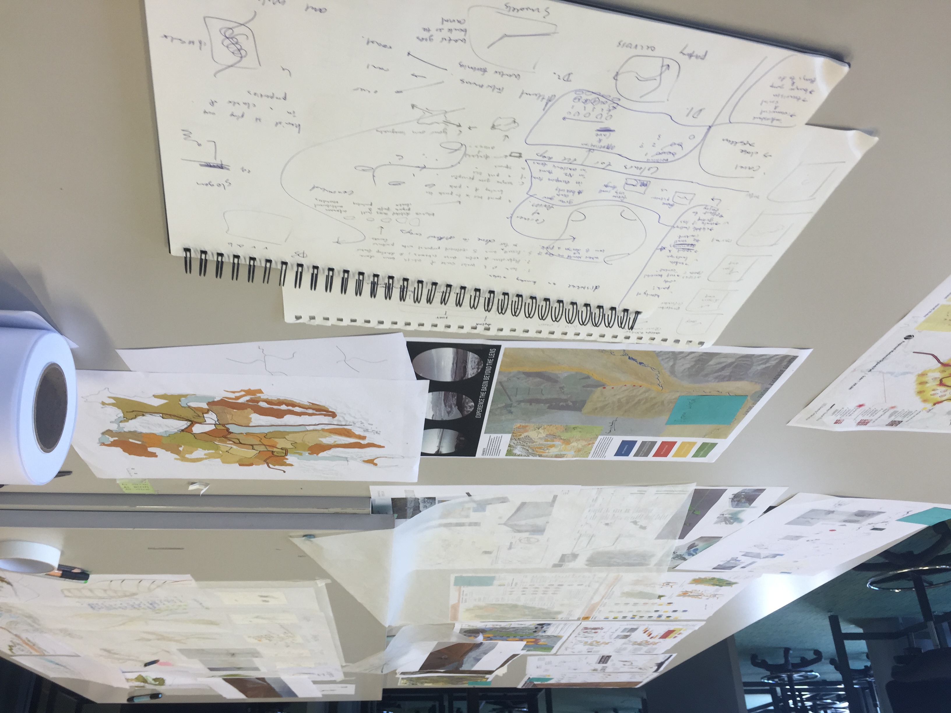
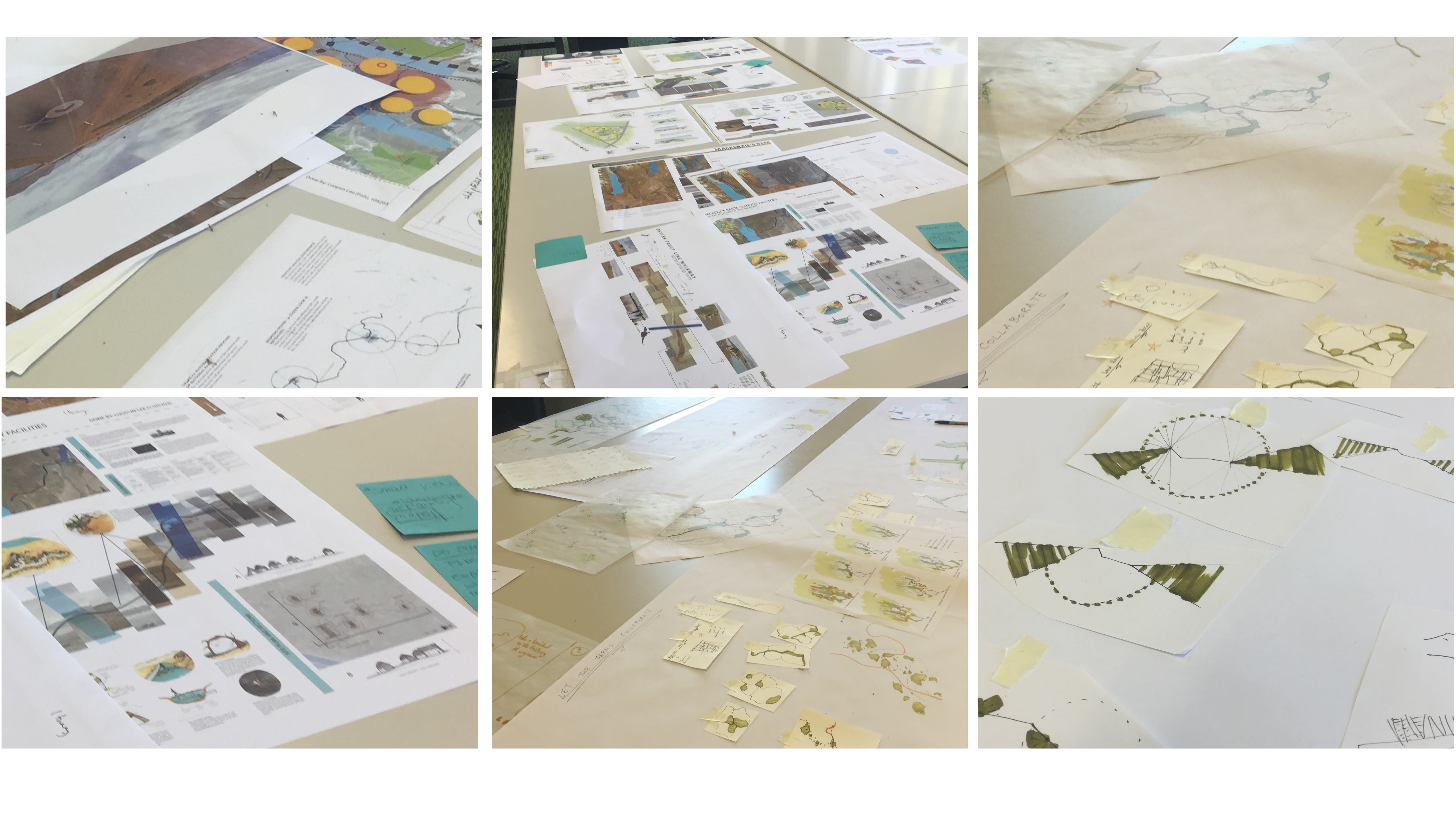
Twelve senior landscape architecture students worked with these themes, developing seven spatial ‘drivers’—ideas like ecological corridors, tourism infrastructure, working landscapes, and cultural heritage—to guide potential transformations. These were mapped as overlapping systems, rather than isolated zones, to explore how conservation could be layered with productivity and public access.
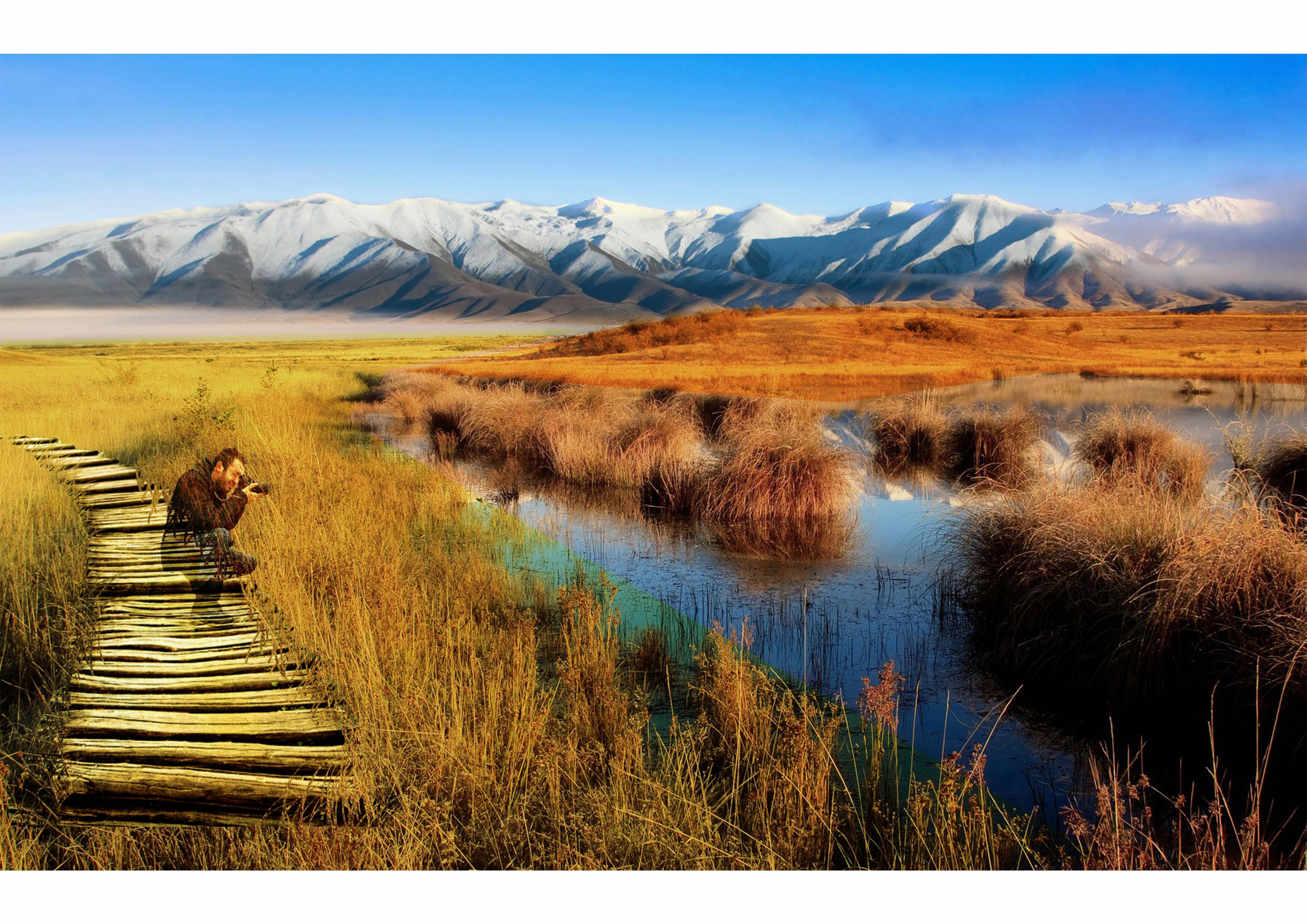
A Distributed Park Model
Rather than a single block of land marked ‘protected,’ the resulting vision proposes a distributed network of parklands—woven through existing farmland, waterways, and recreation areas. This fractal-like model increases ecological function, access, and resilience across both regional and local scales.
Tourism and Identity
Visual analysis of iconic ‘100% Pure’ imagery helped unpack the mixed land uses that already define Mackenzie’s identity. The project reframes these not as conflicts, but as opportunities to tell a richer story of place—where protection and production are not opposites, but partners in a thriving future.

